
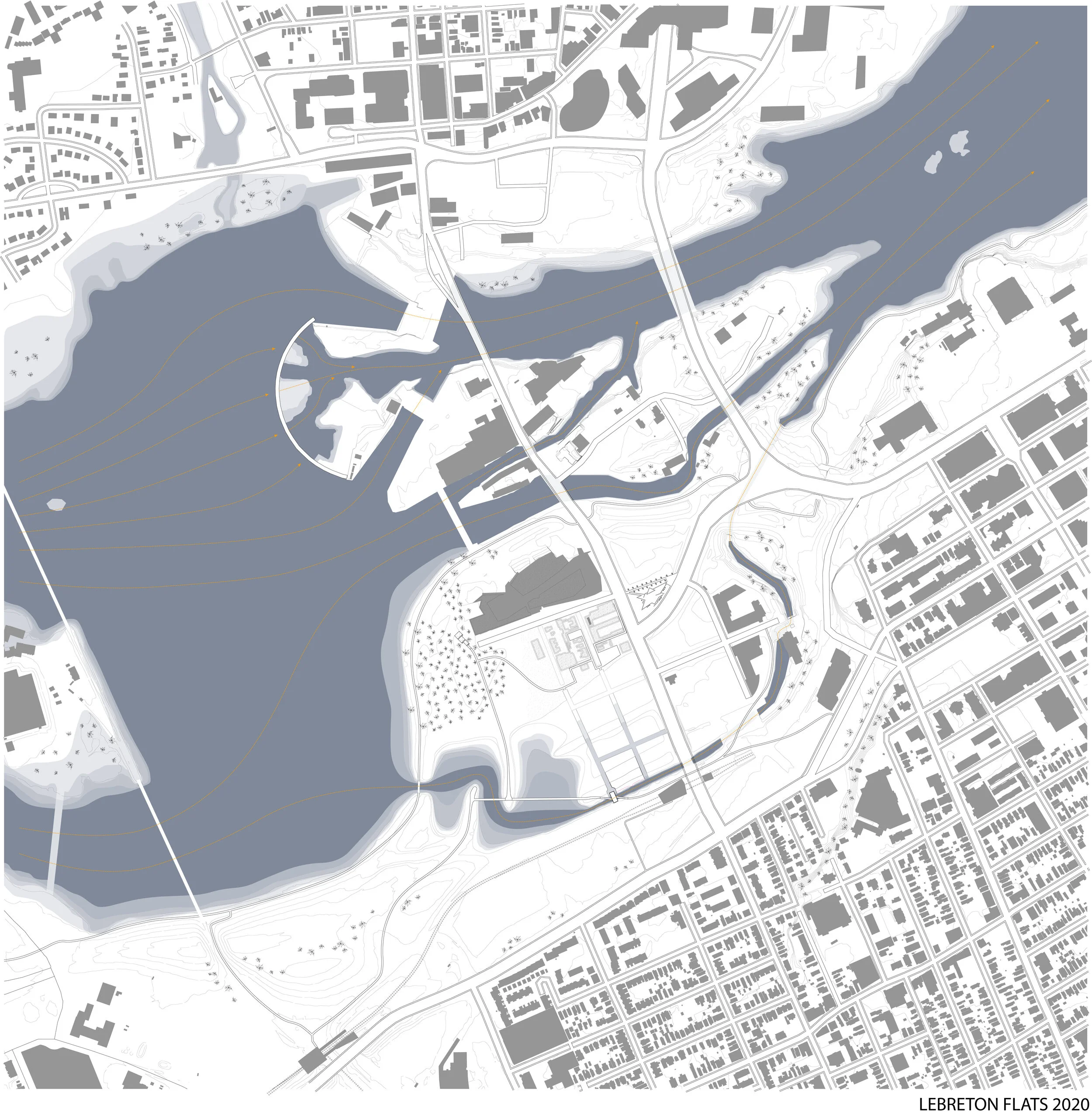
This thesis explores cut and fill operations to create an occupiable archive of LeBreton Flats’ industrial and environmental history. Employing layered drawing techniques which draw historical elements into dialogue, the thesis develops a method for understanding the cut and fill operations and flow formations which have shaped the Ottawa region’s industrial environment since the turn of the 19th century. In this time, the site has seen resources cut from it, rubble used as fill to create “new land,” and pollution flow into its soils.
The thesis uses layered drawings as a projective technique to envision a reflective landscape for the LeBreton Flats site, which currently sits as a vacant brownfield site west of the Canadian Parliamentary precinct in Ottawa. In their work, Dilip da Cunha and Anuradha Mathur challenge the perception of land as separate from water. Drawing upon this theory, notions of the impermeable boundary are challenged within the drawings produced. Translation of the dynamic quality of the site to a tangible scale is achieved through a series of constructions embedded within a reimagined landscape on LeBreton Flats. The constructions provide platforms on which temporal processes of environmental and human control are rendered visible and accessible.


Location: Ottawa, Canada
Client: Carleton University MArch Thesis
Program: Landscape Intervention
Date: 2020
Credits: Justin Lewis, advised by Dr. Catherine Bonier